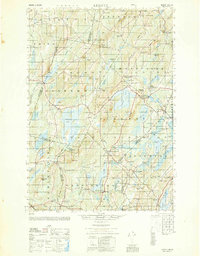
1950 Map of Liberty
USGS Topo · Published 1950About this map
Lake St George and Sheepscot Pond dominate this mid-century landscape where the borderlands of Waldo, Kennebec, Lincoln, and Knox counties meet. The settlement pattern is characterized by numerous named crossroads and rural schools, such as Hutchins Corner, McDonald Sch, and Gregorys Corner, reflecting a highly localized community structure. The map captures the village of Liberty and the unique enclave of Hibberts Gore, an unincorporated area surrounded by larger townships.
Find a feature on this map
128 named features on this map. Tap any name to fly to it.
Don’t see what you’re looking for? This feature index may not catch every label — zoom into the map to look around manually.
Map Details
Editions of this 1950 Liberty Map
This is the sole edition of this map. No revisions or reprints were ever made.
Other maps of this area
1892 · Waterville
USGS Topo · 1:62,500
1893 · Vassalboro
USGS Topo · 1:62,500
1893 · Wiscasset
USGS Topo · 1:62,500
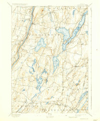
1898 · Vassalboro
USGS Topo · 1:62,500
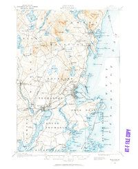
1904 · Rockland
USGS Topo · 1:62,500
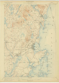
1906 · Rockland
USGS Topo · 1:62,500
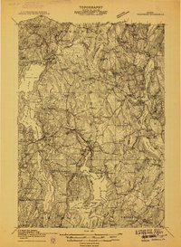
1913 · Waldoboro
USGS Topo · 1:48,000
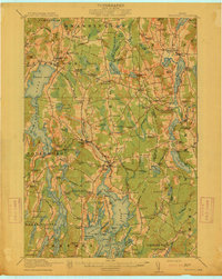
1915 · Waldoboro
USGS Topo · 1:62,500
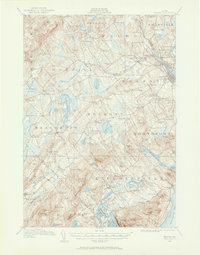
1915 · Belfast
USGS Topo · 1:62,500
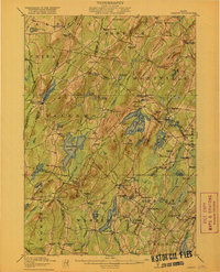
1916 · Liberty
USGS Topo · 1:62,500