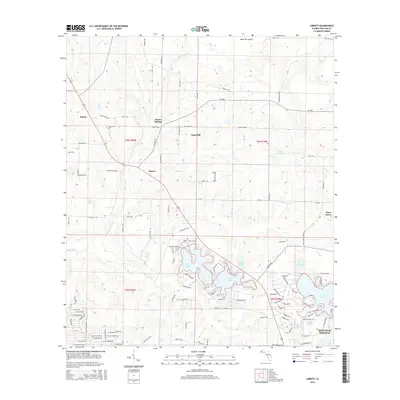
2015 Map of Liberty
USGS Topo · Published 2015About this map
DeFuniak Springs anchors the southeastern corner of this landscape, where the terrain shifts toward a series of significant water bodies including Juniper Lake and Lake Chipley. To the north, the rural character of Walton County is defined by small, historically distinct communities such as Liberty, Cluster Springs, and Ealum. These settlements are interconnected by a network of county roads like CR-1084 and CR-192, which cut through a landscape drained by the Shoal River and the meandering Big Swamp Creek.
Find a feature on this map
116 named features on this map. Tap any name to fly to it.
Don’t see what you’re looking for? This feature index may not catch every label — zoom into the map to look around manually.
Map Details
Editions of this 2015 Liberty Map
This is the sole edition of this map. No revisions or reprints were ever made.
Other maps of this area

1934 · Niceville
USGS Topo · 1:48,000

1935 · De Funiak Springs
USGS Topo · 1:48,000

1936 · Niceville
USGS Topo · 1:62,500

1938 · De Funiak Springs
USGS Topo · 1:62,500

1949 · Glendale
USGS Topo · 1:62,500

1949 · Laurel Hill
USGS Topo · 1:62,500

1950 · Laurel Hill
USGS Topo · 1:62,500

1951 · Glendale
USGS Topo · 1:62,500

1956 · Niceville
USGS Topo · 1:62,500

1957 · Pensacola
USGS Topo · 1:250,000