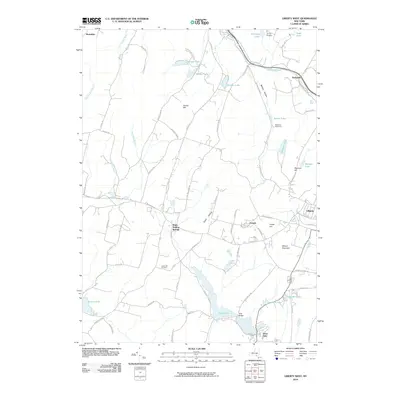
2010 Map of Liberty West
USGS Topo · Published 2010About this map
White Sulphur Springs and the western edge of Liberty anchor this Sullivan County landscape, where the Catskill foothills meet a dense network of upland lakes and small settlements. The topography is defined by prominent rises such as Walnut Mountain and Grants Hill, which overlook a series of glacial water bodies including Swan Lake, Revonah Lake, and Lenape Lake. These lakes, often accompanied by sites like Camp Olympus and Blueberry Hill Camp, reflect the region's long-standing character as a summer retreat and recreation destination.
Find a feature on this map
76 named features on this map. Tap any name to fly to it.
Don’t see what you’re looking for? This feature index may not catch every label — zoom into the map to look around manually.
Map Details
Editions of this 2010 Liberty West Map
This is the sole edition of this map. No revisions or reprints were ever made.
Other maps of this area

1909 · Monticello
USGS Topo · 1:62,500

1910 · Neversink
USGS Topo · 1:62,500

1911 · Monticello
USGS Topo · 1:62,500

1921 · Livingston Manor
USGS Topo · 1:62,500

1922 · White Lake
USGS Topo · 1:62,500

1923 · Livingston Manor
USGS Topo · 1:62,500

1942 · White Lake
USGS Topo · 1:62,500

1942 · Neversink
USGS Topo · 1:62,500

1943 · White Lake
USGS Topo · 1:62,500

1943 · Monticello
USGS Topo · 1:62,500