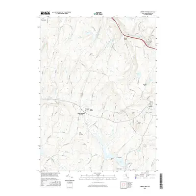
2016 Map of Liberty West
USGS Topo · Published 2016About this map
Swan Lake and the surrounding resort landscape of Sullivan County dominate this 2016 survey, reflecting a region defined by its water bodies and high-elevation settlements. The map highlights the western outskirts of Liberty, where the terrain rises toward Walnut Mtn and Revonah Hill. This area is characterized by a high density of named water features, including Lenape Lake, Lake Marie, and Denman Lake, which historically served as hubs for seasonal recreation.
Find a feature on this map
115 named features on this map. Tap any name to fly to it.
Don’t see what you’re looking for? This feature index may not catch every label — zoom into the map to look around manually.
Map Details
Editions of this 2016 Liberty West Map
This is the sole edition of this map. No revisions or reprints were ever made.
Other maps of this area

1909 · Monticello
USGS Topo · 1:62,500

1910 · Neversink
USGS Topo · 1:62,500

1911 · Monticello
USGS Topo · 1:62,500

1921 · Livingston Manor
USGS Topo · 1:62,500

1922 · White Lake
USGS Topo · 1:62,500

1923 · Livingston Manor
USGS Topo · 1:62,500

1942 · White Lake
USGS Topo · 1:62,500

1942 · Neversink
USGS Topo · 1:62,500

1943 · White Lake
USGS Topo · 1:62,500

1943 · Monticello
USGS Topo · 1:62,500