2024 Map of Libertyville
USGS Topo · Published 2024About this map
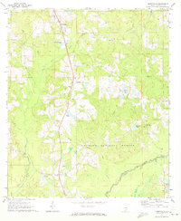
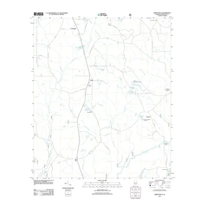
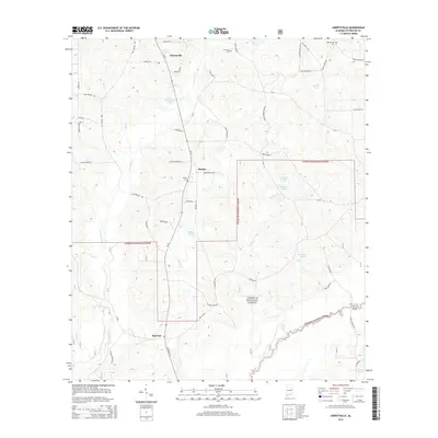
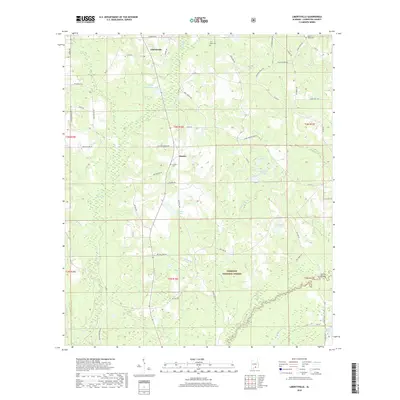
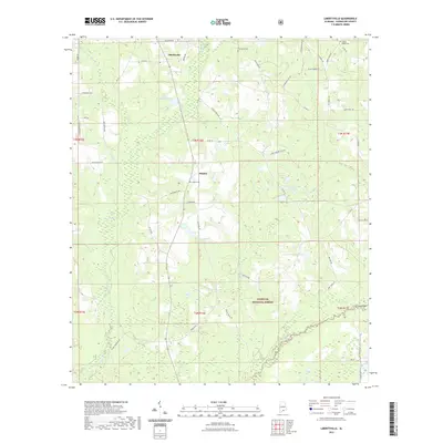
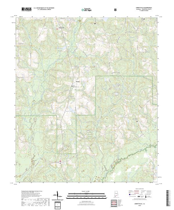
Libertyville and Stanley anchor this rural Covington County landscape, where the northern reaches of the Conecuh National Forest meet the drainage basins of the Yellow River. The terrain is defined by a series of small, named water bodies such as Little Okeechobee Pond and Maddox Ponds, which support the local agricultural and timber interests. This area has long preserved its traditional character through its country congregations and burial grounds. Genealogists can find several key sites here, including the Judson Baptist Church Cem near Stanley and the Red Oak Baptist Church Cem further south. The map documents a network of rural routes like Oakey Ridge Rd and Catherine Bridge Rd that link these small settlements and family farms to the wider region.
Find a feature on this map
63 named features on this map. Tap any name to fly to it.
Don’t see what you’re looking for? This feature index may not catch every label — zoom into the map to look around manually.
Map Details
Editions of this 2024 Libertyville Map
This is the sole edition of this map. No revisions or reprints were ever made.
Historical Maps of Libertyville Through Time
6 maps found