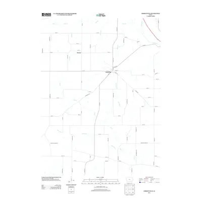
2013 Map of Libertyville
USGS Topo · Published 2013About this map
Libertyville serves as the central hub of this Jefferson County landscape, situated at the junction of several key local routes including Fairfield Rd, N Main St, and S Main St. The settlement pattern follows a traditional Midwestern grid, with rural homesteads spaced along roads like Fir Ave and Hemlock Ave. To the northwest lies the smaller settlement of Ellmaker, while the surrounding terrain is defined by a dendritic network of waterways. Cedar Cr and Rock Cr drain the northern reaches, while the south is dominated by the winding paths of Lick Cr, its tributary E Br Lick Cr, and Little Lick Cr. This drainage pattern suggests a productive agricultural region where local roads frequently cross small streams and runs like Grubb Run, illustrating the intersection of natural geography and 21st-century infrastructure.
Find a feature on this map
66 named features on this map. Tap any name to fly to it.
Don’t see what you’re looking for? This feature index may not catch every label — zoom into the map to look around manually.
Map Details
Editions of this 2013 Libertyville Map
This is the sole edition of this map. No revisions or reprints were ever made.
Other maps of this area

1954 · Centerville
USGS Topo · 1:250,000

1954 · Des Moines
USGS Topo · 1:250,000

1956 · Des Moines
USGS Topo · 1:250,000

1957 · Des Moines
USGS Topo · 1:250,000

1957 · Centerville
USGS Topo · 1:250,000

1958 · Centerville
USGS Topo · 1:250,000

1958 · Burlington
USGS Topo · 1:250,000

1958 · Davenport
USGS Topo · 1:250,000

1961 · Burlington
USGS Topo · 1:250,000

1961 · Davenport
USGS Topo · 1:250,000