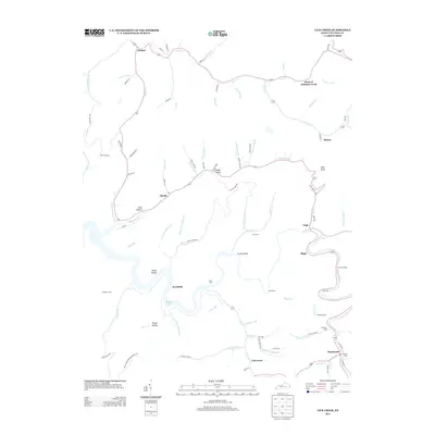
2013 Map of Lick Creek
USGS Topo · Published 2013About this map
Fishtrap Lake and the winding course of Johns Cr define this pocket of the Cumberland Plateau in eastern Kentucky. Small communities and family settlements follow the narrow creek valleys, with Phyllis and its Po serving as a central point along the western corridor. The landscape is marked by numerous family burial grounds, including the Good Cem and Anderson Cem, reflecting the deep-rooted genealogical history of the area.
Find a feature on this map
96 named features on this map. Tap any name to fly to it.
Don’t see what you’re looking for? This feature index may not catch every label — zoom into the map to look around manually.
Map Details
Editions of this 2013 Lick Creek Map
This is the sole edition of this map. No revisions or reprints were ever made.
Other maps of this area

1886 · Grundy
USGS Topo · 1:125,000

1887 · Warfield
USGS Topo · 1:125,000

1890 · Grundy
USGS Topo · 1:125,000

1891 · Warfield
USGS Topo · 1:125,000

1892 · Grundy
USGS Topo · 1:125,000

1909 · Matewan
USGS Topo · 1:48,000

1914 · Hurley
USGS Topo · 1:48,000

1915 · Regina
USGS Topo · 1:48,000

1915 · Hurley
USGS Topo · 1:48,000

1915 · Williamson
USGS Topo · 1:48,000