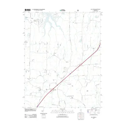
2012 Map of Lick Creek
USGS Topo · Published 2012About this map
Lick Creek sits at the center of this southern Illinois landscape, where the waters of the Little Grassy Lake and Devils Kitchen Lake touch the northern boundary. The terrain is defined by prominent elevations such as Buck Knob, Jims Hill, and the sheer rise of Drapers Bluff and Cedar Bluff to the south. A dense network of local roads connects small rural settlements like Wayside and The Hall, while the presence of over a dozen burial grounds, including the Old Pleasant Hill Cem, Baker Family Cem, and Progress West Liberty Cem, provides significant data for genealogical research. The map also documents local aviation infrastructure through Houseman Airport and Kellums Airport, set against the winding drainages of Grassy Cr and Wolf Cr.
Find a feature on this map
68 named features on this map. Tap any name to fly to it.
Don’t see what you’re looking for? This feature index may not catch every label — zoom into the map to look around manually.
Map Details
Editions of this 2012 Lick Creek Map
This is the sole edition of this map. No revisions or reprints were ever made.
Other maps of this area

1918 · Vienna
USGS Topo · 1:62,500

1919 · Vienna
USGS Topo · 1:62,500

1920 · Dongola
USGS Topo · 1:62,500

1922 · Carbondale
USGS Topo · 1:62,500

1923 · Dongola
USGS Topo · 1:62,500

1925 · Marion
USGS Topo · 1:62,500

1940 · Marion
USGS Topo · 1:62,500

1941 · Carbondale
USGS Topo · 1:62,500

1942 · Vienna
USGS Topo · 1:62,500

1949 · Paducah
USGS Topo · 1:250,000