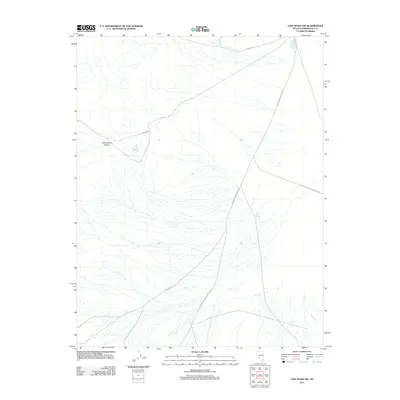
2011 Map of Lida Wash NW
USGS Topo · Published 2011About this map
Soda Spring serves as a lone water source in this arid high-desert stretch of Esmeralda County, reflecting the critical importance of reliable springs for travel and ranching in Nevada. The landscape is defined by an intricate network of drainage patterns and seasonal watercourses, including Birch Creek and the deep incision of Cottonwood Canyon. Transport across the basin relies on a system of remote thoroughfares like Silver Peak Oasis Divide Rd and Nivloc Rd, which connect the scattered topography of the Lida Wash area. The intersection of Coyote Rd and other local tracks like McAfee Rd suggests a landscape managed for mineral access or seasonal grazing, where navigation is dictated by the natural breaks in the terrain and the proximity to rare desert springs.
Find a feature on this map
8 named features on this map. Tap any name to fly to it.
Don’t see what you’re looking for? This feature index may not catch every label — zoom into the map to look around manually.
Map Details
Editions of this 2011 Lida Wash NW Map
This is the sole edition of this map. No revisions or reprints were ever made.
Other maps of this area

1898 · Silver Peak
USGS Topo · 1:125,000

1900 · Silver Peak
USGS Topo · 1:125,000

1908 · Lida
USGS Topo · 1:250,000

1913 · Lida
USGS Topo · 1:250,000

1954 · Goldfield
USGS Topo · 1:250,000

1955 · Goldfield
USGS Topo · 1:250,000

1958 · Goldfield
USGS Topo · 1:250,000

1962 · Goldfield
USGS Topo · 1:250,000
1963 · Piper Peak
USGS Topo · 1:62,500

1963 · Silver Peak
USGS Topo · 1:62,500