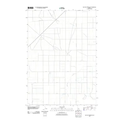
2010 Map of Lidy Hot Springs SE
USGS Topo · Published 2010About this map
Warm Springs Creek winds through this Jefferson County landscape, following a naturally occurring path that contrasts with the rigid, square-mile grid of the surrounding agricultural region. The modern road network, including the Monteview Hwy, largely respects these township lines, yet the presence of the Emigrant Trail Rd serves as a tangible link to historic overland travel routes that preceded formal land divisions. This intersection of historic trail geometry and systematic irrigation-era planning reveals the evolution of transport in the Snake River Plain. While primarily characterized by high-desert agriculture, the map identifies specific local corridors like Snaky Canyon Rd and South Slope Farms Rd, which anchor the rural community. The drainage patterns of Crooked Cr Rd and the creek suggest a landscape defined by water management and the transition from rugged sagebrush plains to productive farmsteads.
Find a feature on this map
17 named features on this map. Tap any name to fly to it.
Don’t see what you’re looking for? This feature index may not catch every label — zoom into the map to look around manually.
Map Details
Editions of this 2010 Lidy Hot Springs SE Map
This is the sole edition of this map. No revisions or reprints were ever made.
Other maps of this area

1955 · Dubois
USGS Topo · 1:250,000

1955 · Idaho Falls
USGS Topo · 1:250,000

1958 · Dubois
USGS Topo · 1:250,000

1958 · Idaho Falls
USGS Topo · 1:250,000

1964 · Small
USGS Topo · 1:24,000

1964 · Cedar Butte SW
USGS Topo · 1:24,000

1964 · Mud Lake NW
USGS Topo · 1:24,000

1969 · Shamrock Gulch
USGS Topo · 1:24,000

1969 · Lidy Hot Springs SE
USGS Topo · 1:24,000

1969 · Circular Butte NW
USGS Topo · 1:24,000