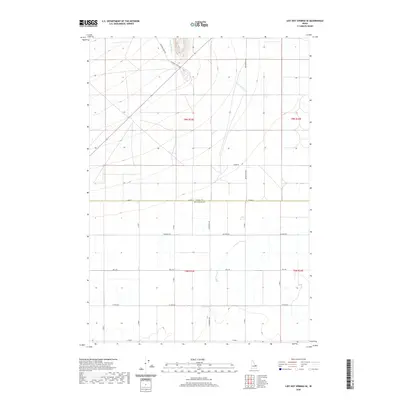
2020 Map of Lidy Hot Springs SE
USGS Topo · Published 2020About this map
Emigrant Trail Rd cuts across the northern portion of this High Desert landscape, marking a legacy of westward movement that predates the modern agricultural grid. The map reveals the boundary between Clark and Jefferson Counties, where the terrain transitions from the volcanic foothills near Warm Springs Cr to the structured farmlands of the Snake River Plain. This intersection of natural hydrology and human planning is evident in the irrigation-aligned road network, including Monteview Hwy and family-named routes such as Schwendig Rd and Sauer Rd. For researchers, the map provides a precise look at the 2020 township and range lines, specifically t9n r33e and t8n r33e, which organize the rural landscape of eastern Idaho.
Find a feature on this map
21 named features on this map. Tap any name to fly to it.
Don’t see what you’re looking for? This feature index may not catch every label — zoom into the map to look around manually.
Map Details
Editions of this 2020 Lidy Hot Springs SE Map
This is the sole edition of this map. No revisions or reprints were ever made.
Other maps of this area

1955 · Dubois
USGS Topo · 1:250,000

1955 · Idaho Falls
USGS Topo · 1:250,000

1958 · Dubois
USGS Topo · 1:250,000

1958 · Idaho Falls
USGS Topo · 1:250,000

1964 · Small
USGS Topo · 1:24,000

1964 · Cedar Butte SW
USGS Topo · 1:24,000

1964 · Mud Lake NW
USGS Topo · 1:24,000

1969 · Shamrock Gulch
USGS Topo · 1:24,000

1969 · Lidy Hot Springs SE
USGS Topo · 1:24,000

1969 · Circular Butte NW
USGS Topo · 1:24,000