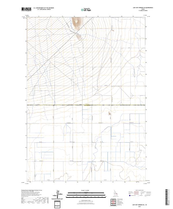
2023 Map of Lidy Hot Springs SE
USGS Topo · Published 2023About this map
Warm Springs Creek winds through the northern portion of this landscape, marking a vital water source in an area defined by its agricultural grid and historic passage. The boundary between Clark County and Jefferson County bisects the sheet, separating the irrigation-focused fields to the south from the more open terrain above. The presence of Emigrant Trail Rd in the north suggests a deep history of western movement, following the natural contours of the land near Crooked Creek Rd. The southern half is characterized by a dense network of local routes such as Attkins Rd, Schwendig Rd, and Bell Rd, which serve a series of modern farmsteads. This 2023 survey provides a clear look at the persistent relationship between water and settlement in the high desert of Eastern Idaho.
Find a feature on this map
21 named features on this map. Tap any name to fly to it.
Don’t see what you’re looking for? This feature index may not catch every label — zoom into the map to look around manually.
Map Details
Editions of this 2023 Lidy Hot Springs SE Map
This is the sole edition of this map. No revisions or reprints were ever made.
Other maps of this area

1955 · Dubois
USGS Topo · 1:250,000

1955 · Idaho Falls
USGS Topo · 1:250,000

1958 · Dubois
USGS Topo · 1:250,000

1958 · Idaho Falls
USGS Topo · 1:250,000

1964 · Small
USGS Topo · 1:24,000

1964 · Cedar Butte SW
USGS Topo · 1:24,000

1964 · Mud Lake NW
USGS Topo · 1:24,000

1969 · Shamrock Gulch
USGS Topo · 1:24,000

1969 · Lidy Hot Springs SE
USGS Topo · 1:24,000

1969 · Circular Butte NW
USGS Topo · 1:24,000