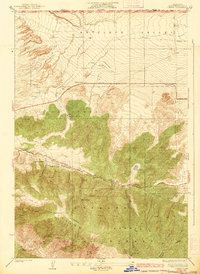
1938 Map of Liebre
USGS Topo · Published 1938About this map
Liebre Mountain and the southern reaches of the Antelope Valley are captured here in a 1932 survey that highlights the stark transition from agricultural flats to mountainous terrain. The geological significance of the area is prominently marked by the San Andreas Rift Zone, which cuts northwest to southeast across the landscape. This fault line dictates the placement of roads and the orientation of canyons like Oakdale Canyon.
Find a feature on this map
32 named features on this map. Tap any name to fly to it.
Don’t see what you’re looking for? This feature index may not catch every label — zoom into the map to look around manually.
Map Details
Editions of this 1938 Liebre Map
3 editions found

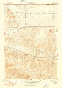
Other maps of this area

1903 · Tejon
USGS Topo · 1:125,000

1931 · Warm Spring
USGS Topo · 1:24,000

1931 · Redrock Mtn
USGS Topo · 1:24,000

1932 · Beartrap Canyon
USGS Topo · 1:24,000

1932 · Neenach
USGS Topo · 1:24,000

1933 · Manzana
USGS Topo · 1:24,000

1933 · Quail
USGS Topo · 1:24,000
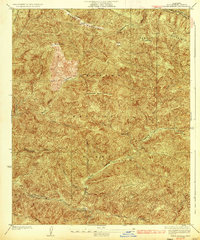
1936 · Warm Spring
USGS Topo · 1:24,000
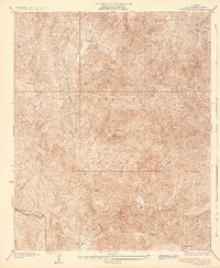
1936 · Redrock Mtn.
USGS Topo · 1:24,000

1938 · Beartrap Canyon
USGS Topo · 1:24,000