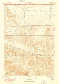
1938 Map of Liebre
USGS Topo · Published 1951About this map
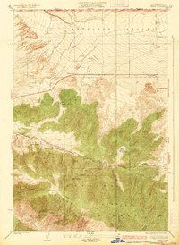
The San Andreas Rift Zone creates a distinct linear scar across this landscape, separating the high elevations of Liebre Mountain from the arid expanse of the Antelope Valley to the north. Surveyed during the 1930s with cultural revisions through 1950, the map illustrates a sparsely populated ranching and transition zone where water is the primary concern for survival and industry. Numerous wells and springs, such as Gookins Lake and various labeled Springs, dot the terrain to support livestock operations like the Barnes Ranch, La Liebre Ranch, and Pine Grove Ranch.
Find a feature on this map
37 named features on this map. Tap any name to fly to it.
Don’t see what you’re looking for? This feature index may not catch every label — zoom into the map to look around manually.
Map Details
Editions of this 1938 Liebre Map
3 editions found

Other maps of this area

1903 · Tejon
USGS Topo · 1:125,000

1931 · Warm Spring
USGS Topo · 1:24,000

1931 · Redrock Mtn
USGS Topo · 1:24,000

1932 · Beartrap Canyon
USGS Topo · 1:24,000

1932 · Neenach
USGS Topo · 1:24,000

1933 · Manzana
USGS Topo · 1:24,000

1933 · Quail
USGS Topo · 1:24,000
1936 · Warm Spring
USGS Topo · 1:24,000
1936 · Redrock Mtn.
USGS Topo · 1:24,000

1938 · Beartrap Canyon
USGS Topo · 1:24,000