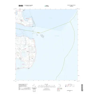
2021 Map of Lighthouse Point
USGS Topo · Published 2021About this map
The coastal marshlands and intricate tidal inlets of the Gulf of Mexico define this coastal survey of the Florida panhandle. Mashes Island stands as a primary landmark in a landscape dominated by saltwater estuaries and shifting shorelines where Apalachee Bay meets the Gulf. The map illustrates a delicate coastal ecosystem of barrier features and wetland networks typical of the Big Bend region, showing the relationship between small-scale coastal development and the surrounding maritime environment. As a modern 2021 study, it provides a high-resolution look at current topography and the established road network serving the Sun N Sand Beaches area.
Find a feature on this map
1 named feature on this map. Tap any name to fly to it.
Don’t see what you’re looking for? This feature index may not catch every label — zoom into the map to look around manually.
Map Details
Editions of this 2021 Lighthouse Point Map
This is the sole edition of this map. No revisions or reprints were ever made.
Other maps of this area

1940 · Arran
USGS Topo · 1:62,500

1943 · Arran
USGS Topo · 1:62,500

1943 · St. Teresa Beach
USGS Topo · 1:24,000

1943 · Lighthouse Point
USGS Topo · 1:24,000

1945 · Lighthouse Point
USGS Topo · 1:31,680

1945 · St Teresa
USGS Topo · 1:31,680

1949 · Apalachicola
USGS Topo · 1:250,000

1954 · Sprague Island
USGS Topo · 1:24,000

1954 · Tallahassee
USGS Topo · 1:250,000

1957 · Apalachicola
USGS Topo · 1:250,000