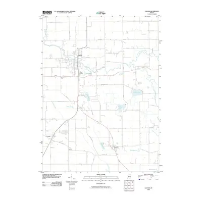
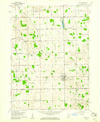
2010 Map of Ligonier
USGS Topo · Published 2010About this map
The Elkhart River flows through the northern half of this landscape, anchoring the settlement of Ligonier where its waters bend near Indian Lake. This region of Noble County is defined by a dense network of glacial water bodies and drainage systems, including Engle Lake, Eagle Lake, and the larger Diamond Lake to the east. The terrain rises to notable elevations at The Knobs and Diamond Hill, providing a distinct contrast to the low-lying wetlands surrounding Solomon Creek and Cromwell Ditch.
Find a feature on this map
49 named features on this map. Tap any name to fly to it.
Don’t see what you’re looking for? This feature index may not catch every label — zoom into the map to look around manually.
Map Details
Editions of this 2010 Ligonier Map
This is the sole edition of this map. No revisions or reprints were ever made.
Other maps of this area
1947 · Oliver Lake
USGS Topo · 1:24,000
1950 · North Webster
USGS Topo · 1:24,000
1951 · Wawasee
USGS Topo · 1:24,000
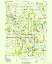
1951 · Ormas
USGS Topo · 1:24,000
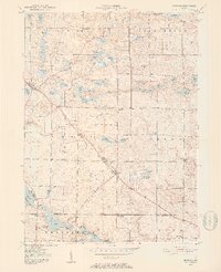
1951 · Merriam
USGS Topo · 1:24,000

1953 · Fort Wayne
USGS Topo · 1:250,000

1956 · Fort Wayne
USGS Topo · 1:250,000
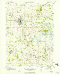
1956 · Ligonier
USGS Topo · 1:24,000
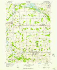
1956 · Albion
USGS Topo · 1:24,000
1959 · Topeka
USGS Topo · 1:24,000