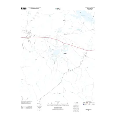
2013 Map of Lilesville
USGS Topo · Published 2013About this map
Lilesville serves as the primary hub of this Anson County landscape, situated where local streets like W Wall St and S Railroad St meet the regional rail corridor. The map reveals an area defined by heavy resource extraction and water management, notably seen in the expansive B V Hedrick Sand and Gravel Lake and Bonsal Company Lake. These large industrial water bodies sit adjacent to Blewett Falls Lake and the Pee Dee River, which marks the eastern boundary of the quadrangle. Moving away from the river, the terrain rises toward Clark Mountain, while smaller communities such as Gravelton, Cairo, and Pee Dee are linked by a network of rural routes including Moruen Rd and Stanback Ferry Rd. The hydrography is dense with tributaries like Smith Cr, Jones Cr, and Little Cr winding through the southern and western reaches.
Find a feature on this map
87 named features on this map. Tap any name to fly to it.
Don’t see what you’re looking for? This feature index may not catch every label — zoom into the map to look around manually.
Map Details
Editions of this 2013 Lilesville Map
This is the sole edition of this map. No revisions or reprints were ever made.
Other maps of this area

1941 · Spartanburg
USGS Topo · 1:250,000

1942 · Troy
USGS Topo · 1:125,000

1942 · Rockingham
USGS Topo · 1:125,000

1953 · Florence
USGS Topo · 1:250,000

1953 · Raleigh
USGS Topo · 1:250,000

1953 · Spartanburg
USGS Topo · 1:250,000

1953 · Charlotte
USGS Topo · 1:250,000

1954 · Charlotte
USGS Topo · 1:250,000

1954 · Florence
USGS Topo · 1:250,000

1954 · Raleigh
USGS Topo · 1:250,000