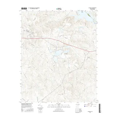
2016 Map of Lilesville
USGS Topo · Published 2016About this map
Lilesville sits at the heart of this landscape, where the traditional topography of Anson County meets the industrial and natural features of the Pee Dee River basin. The map reveals a significant water-driven and extractive economy, evidenced by the expansive Blewett Falls Lake and the complex of basins including B V Hedrick Sand and Gravel Lake and Bonsal Company Lake. These large-scale water features contrast with the historic rural settlements of Gravelton, Pee Dee, and Cairo, which are connected by a network of state roads and family-named routes like Grover Bennett Rd and S G Walls Rd.
Find a feature on this map
83 named features on this map. Tap any name to fly to it.
Don’t see what you’re looking for? This feature index may not catch every label — zoom into the map to look around manually.
Map Details
Editions of this 2016 Lilesville Map
This is the sole edition of this map. No revisions or reprints were ever made.
Other maps of this area

1941 · Spartanburg
USGS Topo · 1:250,000

1942 · Troy
USGS Topo · 1:125,000

1942 · Rockingham
USGS Topo · 1:125,000

1953 · Florence
USGS Topo · 1:250,000

1953 · Raleigh
USGS Topo · 1:250,000

1953 · Spartanburg
USGS Topo · 1:250,000

1953 · Charlotte
USGS Topo · 1:250,000

1954 · Charlotte
USGS Topo · 1:250,000

1954 · Florence
USGS Topo · 1:250,000

1954 · Raleigh
USGS Topo · 1:250,000