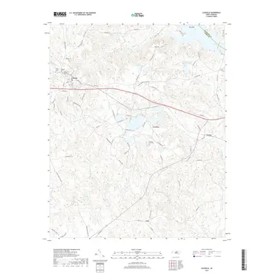
2019 Map of Lilesville
USGS Topo · Published 2019About this map
Lilesville serves as the primary hub of this Anson County landscape, situated where the CSX Transportation railroad intersects the regional road network. The area is defined by its industrial and agricultural history, evidenced by the large water bodies of the Bonsal Company Lake and the B V Hedrick Sand and Gravel Lake, which point to the significant sand and gravel extraction economy nearby.
Find a feature on this map
83 named features on this map. Tap any name to fly to it.
Don’t see what you’re looking for? This feature index may not catch every label — zoom into the map to look around manually.
Map Details
Editions of this 2019 Lilesville Map
This is the sole edition of this map. No revisions or reprints were ever made.
Other maps of this area

1941 · Spartanburg
USGS Topo · 1:250,000

1942 · Troy
USGS Topo · 1:125,000

1942 · Rockingham
USGS Topo · 1:125,000

1953 · Florence
USGS Topo · 1:250,000

1953 · Raleigh
USGS Topo · 1:250,000

1953 · Spartanburg
USGS Topo · 1:250,000

1953 · Charlotte
USGS Topo · 1:250,000

1954 · Charlotte
USGS Topo · 1:250,000

1954 · Florence
USGS Topo · 1:250,000

1954 · Raleigh
USGS Topo · 1:250,000