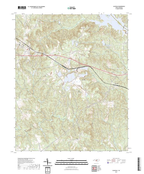
2022 Map of Lilesville
USGS Topo · Published 2022About this map
Lilesville sits at the intersection of rail and road commerce in Anson County, where the CSX Transportation line cuts through the Piedmont landscape. The area is defined by its proximity to the Pee Dee River, which forms the boundary with Richmond County and influences the local topography through its tributaries like Smith Creek and Jones Creek. The map documents a rural landscape transitioning between traditional settlements and industrial resource extraction, notably at the B V Hedrick Sand and Gravel Lake and Bonsal Company Lake. For those researching family history, several prominent burial sites are preserved across the quadrangle, including the Cedar Creek Meeting House Cem and the Battle-Lindsey Cem. Smaller communities such as Gravelton, Pee Dee, and Cairo remain connected by a network of state roads, maintaining the region's character as a crossroads of eastern North Carolina.
Find a feature on this map
85 named features on this map. Tap any name to fly to it.
Don’t see what you’re looking for? This feature index may not catch every label — zoom into the map to look around manually.
Map Details
Editions of this 2022 Lilesville Map
This is the sole edition of this map. No revisions or reprints were ever made.
Other maps of this area

1941 · Spartanburg
USGS Topo · 1:250,000

1942 · Troy
USGS Topo · 1:125,000

1942 · Rockingham
USGS Topo · 1:125,000

1953 · Florence
USGS Topo · 1:250,000

1953 · Raleigh
USGS Topo · 1:250,000

1953 · Spartanburg
USGS Topo · 1:250,000

1953 · Charlotte
USGS Topo · 1:250,000

1954 · Charlotte
USGS Topo · 1:250,000

1954 · Florence
USGS Topo · 1:250,000

1954 · Raleigh
USGS Topo · 1:250,000