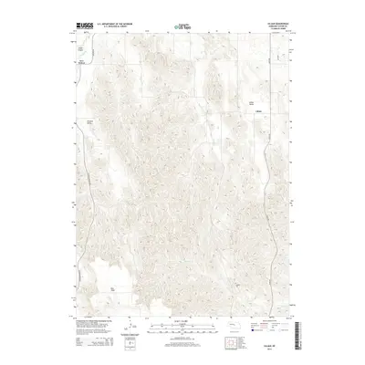
2014 Map of Lillian
USGS Topo · Published 2014About this map
Lillian and the surrounding Custer County landscape are defined by a complex drainage system that has carved distinct landforms across the region. The map illustrates a transition from the elevated East Table into a network of valleys and canyons. Seasonal and perennial watercourses like Dry Cr and Lillian Cr dictate the layout of rural routes, including Gates Rd and Sargent Rd, which follow the natural contours of the terrain.
Find a feature on this map
13 named features on this map. Tap any name to fly to it.
Don’t see what you’re looking for? This feature index may not catch every label — zoom into the map to look around manually.
Map Details
Editions of this 2014 Lillian Map
This is the sole edition of this map. No revisions or reprints were ever made.
Other maps of this area

1951 · Broken Bow NE
USGS Topo · 1:24,000

1951 · Lillian
USGS Topo · 1:24,000

1951 · Anselmo
USGS Topo · 1:24,000

1951 · Broken Bow
USGS Topo · 1:24,000

1951 · Merna
USGS Topo · 1:24,000

1951 · Walworth
USGS Topo · 1:24,000

1951 · Anselmo NE
USGS Topo · 1:24,000

1951 · Round Valley
USGS Topo · 1:24,000

1951 · Milburn
USGS Topo · 1:24,000

1955 · Broken Bow
USGS Topo · 1:250,000