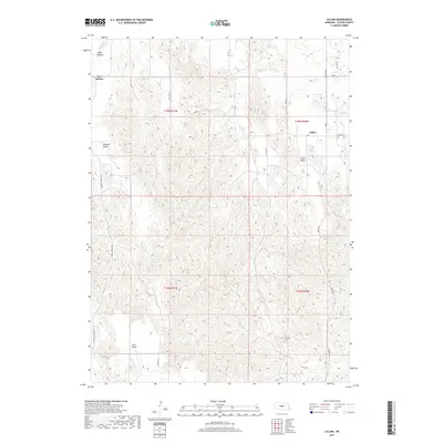
2017 Map of Lillian
USGS Topo · Published 2017About this map
Lillian Valley and the surrounding tablelands of Custer County define this central Nebraska landscape, where small rural settlements are linked by a network of sectional roads. The map captures the agricultural footprint of the early twenty-first century, showing the established communities of Lillian and New Helena, along with the localized naming of places like Pleasant Valley and East Table. These labels often represent historic post offices or community centers that anchored the early homesteading economy of the region.
Find a feature on this map
26 named features on this map. Tap any name to fly to it.
Don’t see what you’re looking for? This feature index may not catch every label — zoom into the map to look around manually.
Map Details
Editions of this 2017 Lillian Map
This is the sole edition of this map. No revisions or reprints were ever made.
Other maps of this area

1951 · Broken Bow NE
USGS Topo · 1:24,000

1951 · Lillian
USGS Topo · 1:24,000

1951 · Anselmo
USGS Topo · 1:24,000

1951 · Broken Bow
USGS Topo · 1:24,000

1951 · Merna
USGS Topo · 1:24,000

1951 · Walworth
USGS Topo · 1:24,000

1951 · Anselmo NE
USGS Topo · 1:24,000

1951 · Round Valley
USGS Topo · 1:24,000

1951 · Milburn
USGS Topo · 1:24,000

1955 · Broken Bow
USGS Topo · 1:250,000