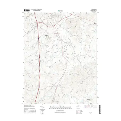
2016 Map of Lily
USGS Topo · Published 2016About this map
The Daniel Boone National Forest provides a backdrop for the community of London and its southern neighboring settlements in this Laurel County corridor. The landscape is defined by the winding course of the Little Laurel River and Laurel River, which are fed by numerous local tributaries like Lick Br and Sampson Br. The southern reach of the city of London meets the aviation hub at London-Corbin Airport-Magee Field, while the CSX rail line creates a central north-south spine through Sublimity City, Fariston, and Lily.
Find a feature on this map
154 named features on this map. Tap any name to fly to it.
Don’t see what you’re looking for? This feature index may not catch every label — zoom into the map to look around manually.
Map Details
Editions of this 2016 Lily Map
This is the sole edition of this map. No revisions or reprints were ever made.
Other maps of this area

1886 · Cumberland Gap
USGS Topo · 1:125,000

1888 · Cumberland Gap
USGS Topo · 1:125,000

1890 · Williamsburg
USGS Topo · 1:125,000

1891 · Manchester
USGS Topo · 1:125,000

1891 · Cumberland Gap
USGS Topo · 1:125,000

1893 · London
USGS Topo · 1:125,000

1894 · Williamsburg
USGS Topo · 1:125,000

1897 · London
USGS Topo · 1:125,000

1952 · Portersburg
USGS Topo · 1:24,000

1952 · Corbin
USGS Topo · 1:24,000