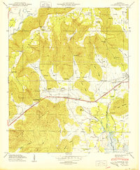
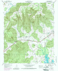
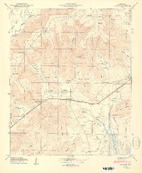
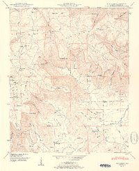
1950 Map of Lim Rock
USGS Topo · Published 1950This historical map portrays the area of Lim Rock in 1950, primarily covering Jackson County. Featuring a scale of 1:24000, this map provides a highly detailed snapshot of the terrain, roads, buildings, counties, and historical landmarks in the Lim Rock region at the time. Published in 1950, it is one of 2 known editions of this map due to revisions or reprints.
Find a feature on this map
70 named features on this map. Tap any name to fly to it.
Don’t see what you’re looking for? This feature index may not catch every label — zoom into the map to look around manually.
Map Details
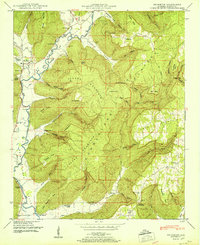
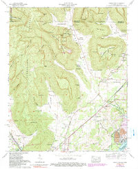
Editions of this 1950 Lim Rock Map
2 editions found
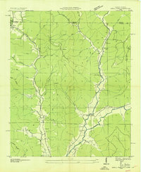
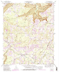
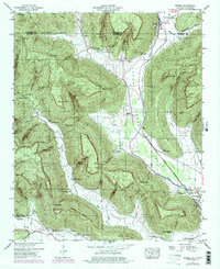
Historical Maps of Jackson County Through Time
28 maps found

1921 Petit Bois Island
Jackson County, AL

1936 Doran Cove
Jackson County, AL

1936 Eureka
Jackson County, AL

1936 Flat Rock
Jackson County, AL

1936 Hollytree
Jackson County, AL

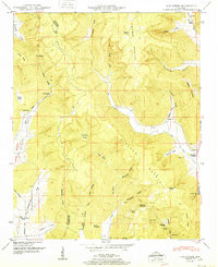
1936 Lim Rock
Jackson County, AL

1936 Mud Creek
Jackson County, AL

1936 Princeton
Jackson County, AL

1936 Wannville
Jackson County, AL
1939 Estill Fork
Jackson County, AL

1942 Petit Bois Island
Jackson County, AL
1946 Flat Rock
Jackson County, AL
1947 Eureka
Jackson County, AL
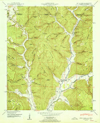
1947 Lim Rock
Jackson County, AL

1947 Wannville
Jackson County, AL
1948 Estill Fork
Jackson County, AL
1948 Hollytree
Jackson County, AL

1948 Mud Creek
Jackson County, AL
1948 Princeton
Jackson County, AL

1950 Doran Cove
Jackson County, AL

1950 Eureka
Jackson County, AL
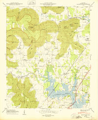
1950 Lim Rock
Jackson County, AL
1950 Wannville
Jackson County, AL
1951 Estill Fork
Jackson County, AL
1951 Hollytree
Jackson County, AL
1951 Mud Creek
Jackson County, AL
1951 Princeton
Jackson County, AL
1967 Doran Cove
Jackson County, AL