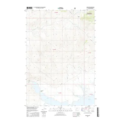
2017 Map of Lima Dam
USGS Topo · Published 2017About this map
Lima Reservoir and the Lima Dam anchor this high-altitude landscape in southwest Montana, where the waters of the Centennial Valley are managed for irrigation and storage. The map illustrates a complex drainage system feeding the reservoir, including Shineberger Cr and Express Cr, which descend from the surrounding ridges. To the north, the terrain rises toward Clover Divide, a natural partition between watersheds that marks the boundary of the Beaverhead National Forest.
Find a feature on this map
19 named features on this map. Tap any name to fly to it.
Don’t see what you’re looking for? This feature index may not catch every label — zoom into the map to look around manually.
Map Details
Editions of this 2017 Lima Dam Map
This is the sole edition of this map. No revisions or reprints were ever made.
Other maps of this area

1955 · Dubois
USGS Topo · 1:250,000

1958 · Dubois
USGS Topo · 1:250,000

1968 · Corral Creek
USGS Topo · 1:24,000

1968 · Whiskey Spring
USGS Topo · 1:24,000

1968 · Lima Dam
USGS Topo · 1:24,000

1968 · Snowline
USGS Topo · 1:24,000

1968 · Vinegar Hill
USGS Topo · 1:24,000

1968 · Monida
USGS Topo · 1:24,000

1968 · Henry Gulch
USGS Topo · 1:24,000

1968 · Antone Peak
USGS Topo · 1:24,000