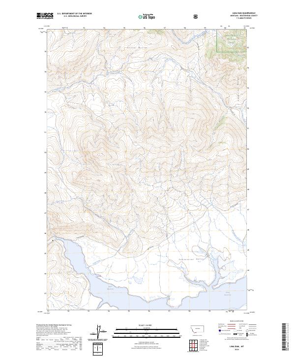
2024 Map of Lima Dam
USGS Topo · Published 2024About this map
Lima Reservoir dominates the southern reaches of this landscape, its shoreline defining the edge of the expansive Centennial Valley. This 2024 survey documents a critical intersection of protected lands and high-altitude water systems, where the Beaverhead National Forest meets the Red Rock Lakes National Wildlife Refuge. The drainage patterns are defined by the Snowcrest Range and the Clover Divide, sending waters through systems like West Fork Blacktail Deer Creek and Little Basin Creek.
Find a feature on this map
23 named features on this map. Tap any name to fly to it.
Don’t see what you’re looking for? This feature index may not catch every label — zoom into the map to look around manually.
Map Details
Editions of this 2024 Lima Dam Map
This is the sole edition of this map. No revisions or reprints were ever made.
Other maps of this area

1955 · Dubois
USGS Topo · 1:250,000

1958 · Dubois
USGS Topo · 1:250,000

1968 · Corral Creek
USGS Topo · 1:24,000

1968 · Whiskey Spring
USGS Topo · 1:24,000

1968 · Lima Dam
USGS Topo · 1:24,000

1968 · Snowline
USGS Topo · 1:24,000

1968 · Vinegar Hill
USGS Topo · 1:24,000

1968 · Monida
USGS Topo · 1:24,000

1968 · Henry Gulch
USGS Topo · 1:24,000

1968 · Antone Peak
USGS Topo · 1:24,000