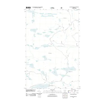
2011 Map of Lima Mountain
USGS Topo · Published 2011About this map
Lima Mountain and Brule Mountain dominate this corner of the Minnesota backcountry, defining a watershed where numerous lakes and streams feed into the South Brule River. The 2011 survey reveals an intricate glacial landscape, featuring an abundance of small, isolated water bodies such as Misquah Lake, Bower Trout Lake, and Ptarmigan Lake. Human infrastructure is sparse and primarily geared toward timber management and recreation, represented by unpaved corridors like the Lima Grade and Ball Club Rd. The presence of the Two Island Lake Campground and the East/West Twin Boat Access highlights the area's role as a destination for outdoor navigation. This landscape, characterized by drainage systems like Bluff Creek and Sickle Creek, remains largely focused on the connectivity between its many named lakes, from Little Trout Lake to the more remote Dislocation Lake.
Find a feature on this map
59 named features on this map. Tap any name to fly to it.
Don’t see what you’re looking for? This feature index may not catch every label — zoom into the map to look around manually.
Map Details
Editions of this 2011 Lima Mountain Map
This is the sole edition of this map. No revisions or reprints were ever made.
Other maps of this area

1919 · Brule Lake
USGS Topo · 1:62,500

1954 · Two Harbors
USGS Topo · 1:250,000

1957 · Two Harbors
USGS Topo · 1:250,000

1957 · Quetico
USGS Topo · 1:250,000

1958 · Two Harbors
USGS Topo · 1:250,000

1959 · Pine Mountain
USGS Topo · 1:24,000

1959 · Lima Mountain
USGS Topo · 1:24,000

1959 · Hungry Jack Lake
USGS Topo · 1:24,000

1959 · Crocodile Lake
USGS Topo · 1:24,000

1960 · Grand Marais
USGS Topo · 1:24,000