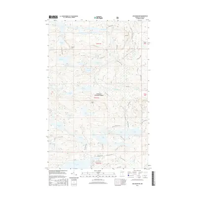
2016 Map of Lima Mountain
USGS Topo · Published 2016About this map
Superior National Forest dominates this northern Minnesota landscape, characterized by an intricate network of glacial lakes and the significant elevations of the Misquah Hills. This region includes Lima Mtn and Brule Mtn, representing some of the highest points in the state. The complex hydrology is anchored by the South Brule River and its northern branch, the S Brule River, which connect a series of water bodies including Bower Trout Lake, Marshall Lake, and Vista Lake.
Find a feature on this map
76 named features on this map. Tap any name to fly to it.
Don’t see what you’re looking for? This feature index may not catch every label — zoom into the map to look around manually.
Map Details
Editions of this 2016 Lima Mountain Map
This is the sole edition of this map. No revisions or reprints were ever made.
Other maps of this area

1919 · Brule Lake
USGS Topo · 1:62,500

1954 · Two Harbors
USGS Topo · 1:250,000

1957 · Two Harbors
USGS Topo · 1:250,000

1957 · Quetico
USGS Topo · 1:250,000

1958 · Two Harbors
USGS Topo · 1:250,000

1959 · Pine Mountain
USGS Topo · 1:24,000

1959 · Lima Mountain
USGS Topo · 1:24,000

1959 · Hungry Jack Lake
USGS Topo · 1:24,000

1959 · Crocodile Lake
USGS Topo · 1:24,000

1960 · Grand Marais
USGS Topo · 1:24,000