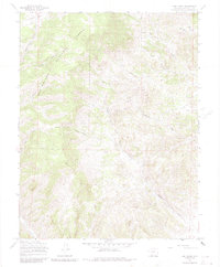
1967 Map of Lime Creek
USGS Topo · Published 1984About this map
Rio Grande National Forest encompasses this high-altitude landscape in Saguache County, defined by a complex network of drainage basins and montane parks. The area serves as a significant watershed for the Carnero Creek system, with the North Fork Carnero Creek and Poison Gulch carving deep transitions through the terrain. Evidence of historical resource extraction is scattered throughout the drainages, notably with several Prospects and Mines located near Biedell Creek and the surrounding ridgelines.
Find a feature on this map
18 named features on this map. Tap any name to fly to it.
Don’t see what you’re looking for? This feature index may not catch every label — zoom into the map to look around manually.
Map Details
Editions of this 1967 Lime Creek Map
3 editions found
Other maps of this area

1915 · Del Norte
USGS Topo · 1:125,000

1917 · Del Norte
USGS Topo · 1:125,000

1945 · Durango
USGS Topo · 1:250,000

1953 · Durango
USGS Topo · 1:250,000

1954 · Durango
USGS Topo · 1:250,000

1956 · Montrose
USGS Topo · 1:250,000

1959 · Montrose
USGS Topo · 1:250,000

1960 · Montrose
USGS Topo · 1:250,000

1961 · Durango
USGS Topo · 1:250,000

1963 · Durango
USGS Topo · 1:250,000