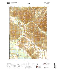
2019 Map of Lime Hills C-6 SW
USGS Topo · Published 2019About this map
Stony River winds through the southwestern corner of this quadrangle, serving as the primary geographical marker in an otherwise unpopulated landscape. The terrain is defined by complex contour elevations that illustrate the transition between river lowlands and the upland reaches of the Lime Hills. Organized by the Public Land Survey System, the sheet covers portions of t17n r33w, t18n r33w, and neighboring townships. This 2019 survey, derived from imagery captured between 2009 and 2012, provides a modern record of the drainage patterns and topographical relief in the Bethel Census Area, where the lack of roads or established settlements emphasizes the isolated nature of the Alaskan interior.
Find a feature on this map
7 named features on this map. Tap any name to fly to it.
Don’t see what you’re looking for? This feature index may not catch every label — zoom into the map to look around manually.
Map Details
Editions of this 2019 Lime Hills C-6 SW Map
This is the sole edition of this map. No revisions or reprints were ever made.
Other maps of this area

1951 · Lime Hills
USGS Topo · 1:250,000
1954 · Lime Hills C-7
USGS Topo · 1:63,360

1954 · Lime Hills C-6
USGS Topo · 1:63,360

1954 · Lime Hills B-7
USGS Topo · 1:63,360

1954 · Lime Hills B-6
USGS Topo · 1:63,360

1958 · Lime Hills
USGS Topo · 1:250,000
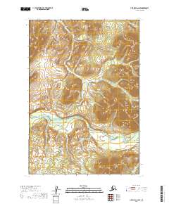
2019 · Lime Hills C-6 NW
USGS Topo · 1:25,000
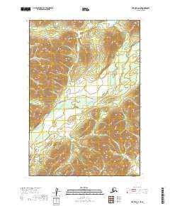
2019 · Lime Hills C-6 NE
USGS Topo · 1:25,000
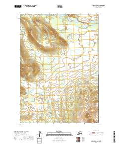
2019 · Lime Hills B-6 NW
USGS Topo · 1:25,000
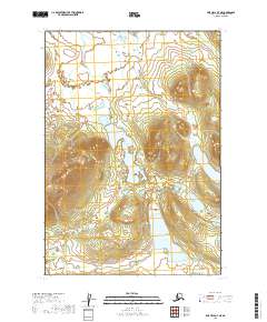
2019 · Lime Hills B-7 NE
USGS Topo · 1:25,000