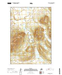
2019 Map of Lime Hills B-7 NE
USGS Topo · Published 2019About this map
North Lime Lake and its surrounding wetlands define this interior Alaskan landscape within the t16n r34w and t15n r34w townships. This 2019 survey by the U.S. Geological Survey illustrates a region dominated by glacial topography and water bodies, including South Lime Lake and East Lime Lake. The elevation data reveals significant relief in the eastern and western portions of the quadrangle, where unnamed peaks rise sharply above the lake basins. With no established road network or named settlements appearing in the source data, the map serves as a primary record of the natural hydrology and topographical contours that shape the Lime Hills B-7 NE area. It provides essential spatial context for the remote wilderness north of Bethel.
Find a feature on this map
7 named features on this map. Tap any name to fly to it.
Don’t see what you’re looking for? This feature index may not catch every label — zoom into the map to look around manually.
Map Details
Editions of this 2019 Lime Hills B-7 NE Map
This is the sole edition of this map. No revisions or reprints were ever made.
Other maps of this area

1951 · Lime Hills
USGS Topo · 1:250,000
1954 · Lime Hills C-7
USGS Topo · 1:63,360

1954 · Lime Hills C-6
USGS Topo · 1:63,360

1954 · Lime Hills B-7
USGS Topo · 1:63,360

1954 · Lime Hills B-6
USGS Topo · 1:63,360

1958 · Lime Hills
USGS Topo · 1:250,000
2019 · Lime Hills B-7 NW
USGS Topo · 1:25,000
2019 · Lime Hills B-6 NW
USGS Topo · 1:25,000
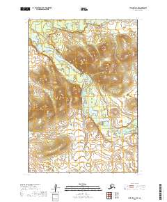
2019 · Lime Hills C-7 SW
USGS Topo · 1:25,000
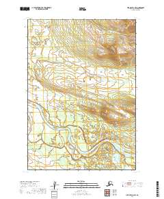
2019 · Lime Hills B-6 SW
USGS Topo · 1:25,000