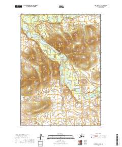
2019 Map of Lime Hills C-7 SW
USGS Topo · Published 2019About this map
Swift River dominates the drainage patterns across this interior landscape, carving a winding path through the topography of the Bethel Census Area. The watercourse is joined by the Gagaryah River in the northern portion of the quadrangle, illustrating the complex hydrologic network that defines this part of the Alaskan wilderness. This 2019 survey documents the Public Land Survey System grid, including townships t18n r35w and t17n r34w, providing a clear record of the administrative and natural boundaries before any significant modern development. The contour lines reveal a landscape of significant elevation changes where river valleys intersect with higher ground, offering a precise view of the terrain as it existed in the early 21st century.
Find a feature on this map
8 named features on this map. Tap any name to fly to it.
Don’t see what you’re looking for? This feature index may not catch every label — zoom into the map to look around manually.
Map Details
Editions of this 2019 Lime Hills C-7 SW Map
This is the sole edition of this map. No revisions or reprints were ever made.
Other maps of this area

1951 · Lime Hills
USGS Topo · 1:250,000
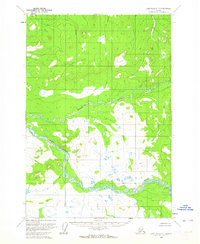
1954 · Lime Hills C-7
USGS Topo · 1:63,360

1954 · Lime Hills B-7
USGS Topo · 1:63,360

1954 · Lime Hills B-8
USGS Topo · 1:63,360
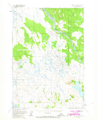
1958 · Lime Hills C-8
USGS Topo · 1:63,360

1958 · Lime Hills
USGS Topo · 1:250,000
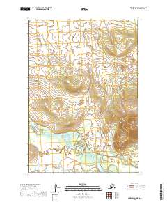
2019 · Lime Hills B-7 NW
USGS Topo · 1:25,000
2019 · Lime Hills B-7 NE
USGS Topo · 1:25,000
2019 · Lime Hills C-8 SE
USGS Topo · 1:25,000
2019 · Lime Hills C-7 NW
USGS Topo · 1:25,000