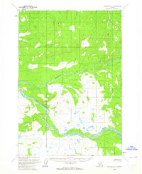
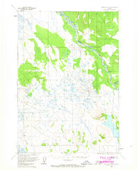
1954 Map of Lime Hills C-7
USGS Topo · Published 1964About this map
Gagaryah River meanders across this interior Alaskan landscape, documented through 1953 aerial photography and 1954 field annotation. The terrain is defined by the convergence of major glacial drainage systems, most notably where the Gagaryah joins the much larger Swift River in the southwestern quadrant. The mapping reflects a period of intensive geophysical survey by the Geological Survey and the Bureau of Land Management, focusing on unsurveyed and unmarked land lines. This specific area shows a complex network of wetlands and swamps interspersed with high relief ridges, providing a detailed record of the hydrological patterns before any modern infrastructure altered the natural flow of these glacial waters.
Find a feature on this map
2 named features on this map. Tap any name to fly to it.
Don’t see what you’re looking for? This feature index may not catch every label — zoom into the map to look around manually.
Map Details
Editions of this 1954 Lime Hills C-7 Map
2 editions found
Other maps of this area

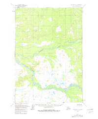
1951 · Lime Hills
USGS Topo · 1:250,000
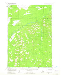
1954 · Lime Hills D-7
USGS Topo · 1:63,360

1954 · Lime Hills D-6
USGS Topo · 1:63,360

1954 · Lime Hills C-6
USGS Topo · 1:63,360
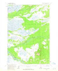
1954 · Lime Hills D-8
USGS Topo · 1:63,360

1954 · Lime Hills B-7
USGS Topo · 1:63,360

1954 · Lime Hills B-8
USGS Topo · 1:63,360

1954 · Lime Hills B-6
USGS Topo · 1:63,360
1958 · Lime Hills C-8
USGS Topo · 1:63,360

1958 · Lime Hills
USGS Topo · 1:250,000