
1954 Map of Lime Hills B-6
USGS Topo · Published 1968About this map
Stony River snakes across the southern reaches of this interior Alaskan landscape, a region defined by its significant glacial-fed waterways and isolated high points. The northern boundary is marked by the Swift River and its North Fork, which cut through a complex network of marshes and low-lying drainages. Between these two major river systems, the terrain rises sharply toward Tough, a prominent upland feature that contrasts with the surrounding wetlands. This 1954 data, compiled from aerial photography, records a remote wilderness where landforms like Salmon Berry Lake and Bump serve as the primary landmarks in an area otherwise devoid of established roads or permanent settlements during the mid-century period. The drainage pattern of Can Creek further illustrates the intricate hydrology of this subarctic environment prior to modern development.
Find a feature on this map
7 named features on this map. Tap any name to fly to it.
Don’t see what you’re looking for? This feature index may not catch every label — zoom into the map to look around manually.
Map Details
Editions of this 1954 Lime Hills B-6 Map
This is the sole edition of this map. No revisions or reprints were ever made.
Other maps of this area

1951 · Lime Hills
USGS Topo · 1:250,000
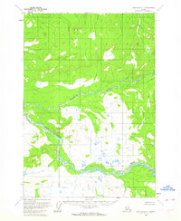
1954 · Lime Hills C-7
USGS Topo · 1:63,360

1954 · Lime Hills C-6
USGS Topo · 1:63,360
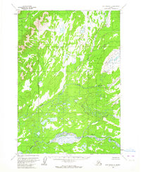
1954 · Lime Hills C-5
USGS Topo · 1:63,360

1954 · Lime Hills A-5
USGS Topo · 1:63,360

1954 · Lime Hills B-5
USGS Topo · 1:63,360

1954 · Lime Hills B-7
USGS Topo · 1:63,360

1954 · Lime Hills A-7
USGS Topo · 1:63,360

1954 · Lime Hills A-6
USGS Topo · 1:63,360

1958 · Lime Hills
USGS Topo · 1:250,000