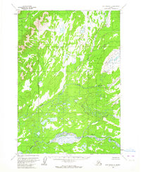
1954 Map of Lime Hills C-5
USGS Topo · Published 1964About this map
The Swift River dominates this interior Alaskan landscape, shown here as it was surveyed in the mid-1950s using aerial photography. This river system, including the North Fork Swift River, creates a complex network of braids and tributaries across the lowlands. To the north, the Gagaryah River and the Babel River drain through a terrain marked by hundreds of unnamed ponds and small lakes, typical of this subarctic wilderness. The map provides a look at the land before any established road network or permanent settlements were recorded, emphasizing the pure hydrology of the region. Surveyed by the U.S. Geological Survey with control by the USCE, these land lines represent unsurveyed locations predetermined by the Bureau of Land Management.
Find a feature on this map
4 named features on this map. Tap any name to fly to it.
Don’t see what you’re looking for? This feature index may not catch every label — zoom into the map to look around manually.
Map Details
Editions of this 1954 Lime Hills C-5 Map
2 editions found
Other maps of this area

1951 · Lime Hills
USGS Topo · 1:250,000

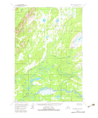
1954 · Lime Hills D-6
USGS Topo · 1:63,360

1954 · Lime Hills D-5
USGS Topo · 1:63,360

1954 · Lime Hills C-6
USGS Topo · 1:63,360

1954 · Lime Hills B-4
USGS Topo · 1:63,360

1954 · Lime Hills B-5
USGS Topo · 1:63,360

1954 · Lime Hills B-6
USGS Topo · 1:63,360

1958 · Lime Hills C-4
USGS Topo · 1:63,360
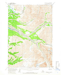
1958 · Lime Hills D-4
USGS Topo · 1:63,360

1958 · Lime Hills
USGS Topo · 1:250,000