
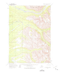
1954 Map of Lime Hills B-4
USGS Topo · Published 1965About this map
Swift River dominates the northern landscape of this interior Alaskan wilderness, as documented during mid-century surveys by the Army Map Service. The terrain is defined by a dense network of high-elevation drainages, where Underhill Creek and Little Underhill Creek carve through the central peaks. To the southeast, Rock Creek flows through a deep valley, illustrating the complex hydrology of this unsurveyed region. This map represents a period of systematic aerial photogrammetry conducted in the late 1950s, a time when the Bureau of Land Management was predetermining land lines for future township development in areas where no roads or permanent trails yet existed.
Find a feature on this map
7 named features on this map. Tap any name to fly to it.
Don’t see what you’re looking for? This feature index may not catch every label — zoom into the map to look around manually.
Map Details
Editions of this 1954 Lime Hills B-4 Map
2 editions found
Other maps of this area

1951 · Lime Hills
USGS Topo · 1:250,000
1954 · Lime Hills C-5
USGS Topo · 1:63,360

1954 · Lime Hills A-5
USGS Topo · 1:63,360

1954 · Lime Hills A-3
USGS Topo · 1:63,360

1954 · Lime Hills A-4
USGS Topo · 1:63,360

1954 · Lime Hills B-5
USGS Topo · 1:63,360

1954 · Lime Hills B-3
USGS Topo · 1:63,360

1958 · Lime Hills C-3
USGS Topo · 1:63,360

1958 · Lime Hills C-4
USGS Topo · 1:63,360

1958 · Lime Hills
USGS Topo · 1:250,000