
1958 Map of Lime Hills C-3
USGS Topo · Published 1965About this map
Mt Mausolus dominates the central portion of this 1950s terrain study, where the high mountain ridges descend into the glacial valleys and braided river systems of the Alaska interior. The Swift River and Stony River serve as the primary drainage arteries, carving through the landscape and leaving behind wide gravel plains shown in light green. Glacial activity is a defining characteristic of this quadrangle, illustrated by the presence of Tired Pup Glacier and numerous labeled Crevasses across the ice fields. This map represents a period of remote surveying by the U.S. Geological Survey using photogrammetric methods from aerial photographs taken between 1941 and 1957. The absence of roads or trails emphasizes the isolation of this wilderness area prior to modern development.
Find a feature on this map
5 named features on this map. Tap any name to fly to it.
Don’t see what you’re looking for? This feature index may not catch every label — zoom into the map to look around manually.
Map Details
Editions of this 1958 Lime Hills C-3 Map
This is the sole edition of this map. No revisions or reprints were ever made.
Other maps of this area

1951 · Lime Hills
USGS Topo · 1:250,000

1954 · Lime Hills B-4
USGS Topo · 1:63,360

1954 · Lime Hills B-3
USGS Topo · 1:63,360

1958 · Lime Hills C-2
USGS Topo · 1:63,360

1958 · Lime Hills D-3
USGS Topo · 1:63,360

1958 · Lime Hills C-4
USGS Topo · 1:63,360
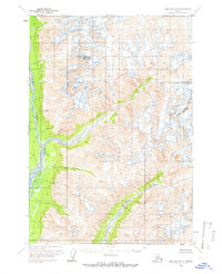
1958 · Lime Hills B-2
USGS Topo · 1:63,360
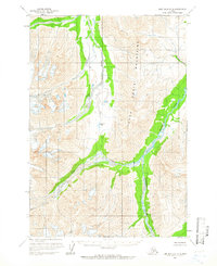
1958 · Lime Hills D-2
USGS Topo · 1:63,360
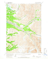
1958 · Lime Hills D-4
USGS Topo · 1:63,360

1958 · Lime Hills
USGS Topo · 1:250,000