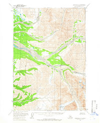
1958 Map of Lime Hills D-4
USGS Topo · Published 1966About this map
Big River dominates this interior Alaskan landscape, shown here as it appeared in the late 1950s. The river's expansive gravel bars and braided channels wind through a terrain defined by significant topographic elevations, including North Buttress and the peaks known as Babel and Wolf. The map reveals a wild and roadless area, where the Big River serves as the primary corridor through the valley floor. Surveyors from the Geological Survey utilized photogrammetric methods from aerial photographs taken in 1954 and 1957 to document these remote contours and hydrological features. The resulting sheet provides a record of the unsurveyed and unmarked land lines predetermined by the Bureau of Land Management, reflecting the early administrative efforts to delineate this part of the Seward Meridian before permanent settlements or infrastructure reached the area.
Find a feature on this map
11 named features on this map. Tap any name to fly to it.
Don’t see what you’re looking for? This feature index may not catch every label — zoom into the map to look around manually.
Map Details
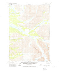
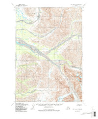
Editions of this 1958 Lime Hills D-4 Map
3 editions found
Other maps of this area

1949 · McGrath
USGS Topo · 1:250,000

1950 · McGrath
USGS Topo · 1:250,000

1951 · Lime Hills
USGS Topo · 1:250,000

1954 · McGrath A-4
USGS Topo · 1:63,360

1954 · Lime Hills D-5
USGS Topo · 1:63,360
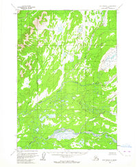
1954 · Lime Hills C-5
USGS Topo · 1:63,360

1958 · McGrath A-3
USGS Topo · 1:63,360

1958 · Lime Hills C-3
USGS Topo · 1:63,360

1958 · Lime Hills D-3
USGS Topo · 1:63,360

1958 · Lime Hills C-4
USGS Topo · 1:63,360