
1954 Map of Lime Hills D-5
USGS Topo · Published 1964About this map
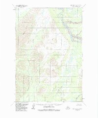
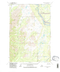
Gagaryah River snakes through a complex corridor of hills and drainage basins in this 1954 topographic study of the Lime Hills quadrangle. The landscape is defined by the convergence of major waterways, including the broad path of the Big River to the northeast and the headwaters of the North Fork Swift River at the southern edge of the map. This area of Alaska, part of the Seward Meridian, shows no established road network or permanent settlements at the time of the survey, reflecting a wild interior topography. The map illustrates an intricate system of unnamed mountain peaks and valleys, highlighting the natural transition between high-elevation relief and the marshy lowlands surrounding the river forks.
Find a feature on this map
8 named features on this map. Tap any name to fly to it.
Don’t see what you’re looking for? This feature index may not catch every label — zoom into the map to look around manually.
Map Details
Editions of this 1954 Lime Hills D-5 Map
3 editions found
Other maps of this area

1949 · McGrath
USGS Topo · 1:250,000

1950 · McGrath
USGS Topo · 1:250,000

1951 · Lime Hills
USGS Topo · 1:250,000

1954 · McGrath A-4
USGS Topo · 1:63,360

1954 · Lime Hills D-6
USGS Topo · 1:63,360

1954 · Lime Hills C-6
USGS Topo · 1:63,360
1954 · Lime Hills C-5
USGS Topo · 1:63,360

1958 · McGrath A-3
USGS Topo · 1:63,360

1958 · Lime Hills C-4
USGS Topo · 1:63,360
1958 · Lime Hills D-4
USGS Topo · 1:63,360