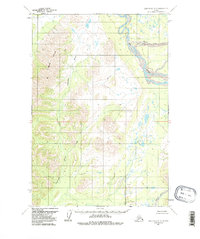
1954 Map of Lime Hills D-5
USGS Topo · Published 1988About this map
Big River and its major tributary, the North Fork, dominate the eastern expanse of this subarctic landscape during the mid-1950s. The terrain is characterized by a stark contrast between the alluvial lowlands of the river systems and the prominent Lyman Hills rising to the west. Broad valleys are carved by the Gagaryah River and Babel River, which wind through a mosaic of wetlands and high-relief ridges. Based on 1953 aerial photography, the map reveals an environment untouched by formal roads or permanent settlements, emphasizing the natural drainage patterns that define this interior Alaskan region. The intricate mapping of swampy lowlands versus the steep contours of the hills provides a clear view of the hydrological barriers and corridors that historically shaped movement through the territory.
Find a feature on this map
11 named features on this map. Tap any name to fly to it.
Don’t see what you’re looking for? This feature index may not catch every label — zoom into the map to look around manually.
Map Details
Editions of this 1954 Lime Hills D-5 Map
3 editions found
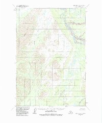
Other maps of this area

1949 · McGrath
USGS Topo · 1:250,000

1950 · McGrath
USGS Topo · 1:250,000

1951 · Lime Hills
USGS Topo · 1:250,000

1954 · McGrath A-4
USGS Topo · 1:63,360

1954 · Lime Hills D-6
USGS Topo · 1:63,360

1954 · Lime Hills D-5
USGS Topo · 1:63,360

1954 · Lime Hills C-6
USGS Topo · 1:63,360
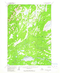
1954 · Lime Hills C-5
USGS Topo · 1:63,360

1958 · McGrath A-3
USGS Topo · 1:63,360

1958 · Lime Hills C-4
USGS Topo · 1:63,360