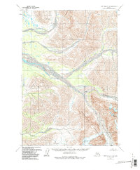
1958 Map of Lime Hills D-4
USGS Topo · Published 1981About this map
Revelation Mountains dominate this 1958 survey of the Alaskan interior, showing a landscape defined by dramatic elevation and glacial activity. The topographic detail captures the massive Revelation Glacier flowing through high peaks, including Mount Hesperus and the feature named Babel. The complex drainage system of the Big River is documented here through the North Fork Big River and Lyman Fork Big River, which carve deep valleys between the mountain ranges. Compiled from aerial photographs taken in the mid-1950s, the map illustrates an era of remote surveying where land lines remained largely unsurveyed and unmarked. This document provides a foundational look at the region's geography before later environmental changes, recording the exact extent of glacial ice and river courses in this portion of the Lime Hills.
Find a feature on this map
7 named features on this map. Tap any name to fly to it.
Don’t see what you’re looking for? This feature index may not catch every label — zoom into the map to look around manually.
Map Details
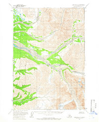
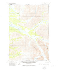
Editions of this 1958 Lime Hills D-4 Map
3 editions found
Other maps of this area

1949 · McGrath
USGS Topo · 1:250,000

1950 · McGrath
USGS Topo · 1:250,000

1951 · Lime Hills
USGS Topo · 1:250,000

1954 · McGrath A-4
USGS Topo · 1:63,360

1954 · Lime Hills D-5
USGS Topo · 1:63,360
1954 · Lime Hills C-5
USGS Topo · 1:63,360

1958 · McGrath A-3
USGS Topo · 1:63,360

1958 · Lime Hills C-3
USGS Topo · 1:63,360

1958 · Lime Hills D-3
USGS Topo · 1:63,360

1958 · Lime Hills C-4
USGS Topo · 1:63,360