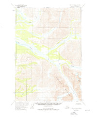
1958 Map of Lime Hills D-4
USGS Topo · Published 1976About this map
The Revelation Mountains dominate this 1950s landscape, where glacial activity and shifting river forks define the terrain. High-altitude landmarks like Mount Hesperus and the massive Revelation Glacier anchor the southeastern portion of the quadrangle, feeding into a complex network of waterways. The North Fork Big River and Lyman Fork Big River weave through the central valleys, eventually merging to form the main stem of the Big River. Farther south, the Babel River carves its way through the mountains near topographic points simply named Bear and Wolf. This survey, compiled from mid-century aerial photography, documents a region entirely devoid of roads or permanent settlements, where the natural drainage patterns of the Kuskokwim River watershed remain the primary navigational features for explorers and geologists alike.
Find a feature on this map
8 named features on this map. Tap any name to fly to it.
Don’t see what you’re looking for? This feature index may not catch every label — zoom into the map to look around manually.
Map Details
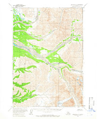
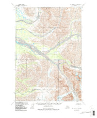
Editions of this 1958 Lime Hills D-4 Map
3 editions found
Other maps of this area

1949 · McGrath
USGS Topo · 1:250,000

1950 · McGrath
USGS Topo · 1:250,000

1951 · Lime Hills
USGS Topo · 1:250,000

1954 · McGrath A-4
USGS Topo · 1:63,360

1954 · Lime Hills D-5
USGS Topo · 1:63,360
1954 · Lime Hills C-5
USGS Topo · 1:63,360

1958 · McGrath A-3
USGS Topo · 1:63,360

1958 · Lime Hills C-3
USGS Topo · 1:63,360

1958 · Lime Hills D-3
USGS Topo · 1:63,360

1958 · Lime Hills C-4
USGS Topo · 1:63,360