
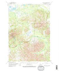
1954 Map of Lime Hills A-7
USGS Topo · Published 1968About this map
Sparrevohn Air Force Station defines the human footprint in this interior Alaskan landscape, serving as a remote military installation established during the early Cold War era. The topography is dominated by the prominent peak of Cairn Mountain, which overlooks a complex drainage system of high-altitude valleys and winding waterways. The presence of a Landing Strip adjacent to the station underscores the absolute reliance on aerial transport in this roadless region. Below the mountain ridges, Hook Creek and Caribou Snare Creek meander through the terrain, illustrating the natural watercourses that shaped the area long before the arrival of modern defense infrastructure. This 1954 data reflects a period when the United States was expanding its northern observation network through photogrammetric mapping and field annotations.
Find a feature on this map
5 named features on this map. Tap any name to fly to it.
Don’t see what you’re looking for? This feature index may not catch every label — zoom into the map to look around manually.
Map Details
Editions of this 1954 Lime Hills A-7 Map
2 editions found
Other maps of this area

1946 · Lake Clark
USGS Topo · 1:250,000

1951 · Lake Clark
USGS Topo · 1:250,000

1951 · Lime Hills
USGS Topo · 1:250,000

1954 · Lime Hills A-8
USGS Topo · 1:63,360

1954 · Lake Clark D-8
USGS Topo · 1:63,360

1954 · Lake Clark D-7
USGS Topo · 1:63,360

1954 · Lime Hills B-7
USGS Topo · 1:63,360

1954 · Lime Hills A-6
USGS Topo · 1:63,360
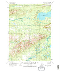
1954 · Lake Clark D-6
USGS Topo · 1:63,360

1954 · Lime Hills B-8
USGS Topo · 1:63,360