
1954 Map of Lime Hills B-8
USGS Topo · Published 1968About this map
Stony River meanders across this interior Alaskan landscape, a region defined by its lack of established roads or trails during the mid-1950s. The topographic detail, mapped by the Army Map Service, shows a complex network of wetlands and small lakes flanking the primary river channel. In the southern portion of the quadrangle, the Stink River winds through the lowland flats before the elevation rises sharply into the Lime Hills. These landforms provide a stark vertical contrast to the braided drainage patterns of the river basins. The survey captures an era when the land lines remained largely unsurveyed and unmarked, reflecting the remote nature of the Seward Meridian at the time of the 1953 and 1957 aerial photography.
Find a feature on this map
3 named features on this map. Tap any name to fly to it.
Don’t see what you’re looking for? This feature index may not catch every label — zoom into the map to look around manually.
Map Details
Editions of this 1954 Lime Hills B-8 Map
This is the sole edition of this map. No revisions or reprints were ever made.
Other maps of this area

1950 · Sleetmute
USGS Topo · 1:250,000

1951 · Lime Hills
USGS Topo · 1:250,000

1954 · Sleetmute C-1
USGS Topo · 1:63,360
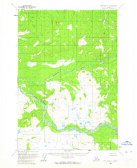
1954 · Lime Hills C-7
USGS Topo · 1:63,360

1954 · Lime Hills A-8
USGS Topo · 1:63,360

1954 · Sleetmute
USGS Topo · 1:250,000

1954 · Lime Hills B-7
USGS Topo · 1:63,360

1954 · Lime Hills A-7
USGS Topo · 1:63,360
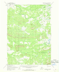
1954 · Sleetmute A-1
USGS Topo · 1:63,360
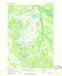
1954 · Sleetmute B-1
USGS Topo · 1:63,360