
1954 Map of Sleetmute C-1
USGS Topo · Published 1961About this map
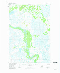
Stony River dominates this interior landscape as it winds through a complex network of wetlands and oxbows during the mid-1950s. The region is characterized by extensive muskeg and marshland, showing the natural hydrological patterns of the Alaskan wilderness before significant modern infrastructure. These detailed surveys, based on 1953 aerial photography, captured the remote terrain between VABM 824 Lonely and VABM 573 Lucky. This map records the path of tributaries like Black Creek and the uniquely named Stink R, providing a clear look at the drainage systems that defined travel and subsistence in this part of the Seward Meridian.
Find a feature on this map
6 named features on this map. Tap any name to fly to it.
Don’t see what you’re looking for? This feature index may not catch every label — zoom into the map to look around manually.
Map Details
Editions of this 1954 Sleetmute C-1 Map
2 editions found
Other maps of this area

1950 · Sleetmute
USGS Topo · 1:250,000

1951 · Lime Hills
USGS Topo · 1:250,000

1954 · Sleetmute D-1
USGS Topo · 1:63,360

1954 · Sleetmute C-2
USGS Topo · 1:63,360

1954 · Sleetmute D-2
USGS Topo · 1:63,360
1954 · Lime Hills D-8
USGS Topo · 1:63,360

1954 · Sleetmute
USGS Topo · 1:250,000

1954 · Sleetmute B-2
USGS Topo · 1:63,360

1954 · Lime Hills B-8
USGS Topo · 1:63,360
1954 · Sleetmute B-1
USGS Topo · 1:63,360