
1954 Map of Sleetmute C-2
USGS Topo · Published 1961About this map
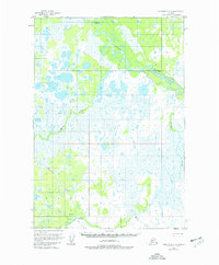
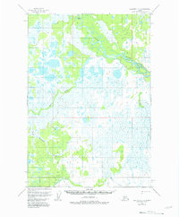
Stony River winds through this interior landscape, defining a complex system of interconnected waterways and marshland. The map reveals an environment dominated by hydrological patterns, where Basket Creek and Muskrat Creek feed into a vast network of unnamed ponds and wetlands. These natural features dictated the seasonal movements of the era, as evidenced by the Winter Trail shown crossing the southern portion of the quadrangle near Elutuli Creek. This rudimentary transit route illustrates how early residents and travelers navigated the terrain when the ground and smaller waters were frozen, avoiding the dense summer marshes. The absence of permanent town sites highlights the area's role as a wilderness corridor for resource gathering and travel between more established settlements along larger Alasken river systems.
Find a feature on this map
13 named features on this map. Tap any name to fly to it.
Don’t see what you’re looking for? This feature index may not catch every label — zoom into the map to look around manually.
Map Details
Editions of this 1954 Sleetmute C-2 Map
3 editions found
Other maps of this area

1950 · Sleetmute
USGS Topo · 1:250,000

1954 · Sleetmute D-1
USGS Topo · 1:63,360

1954 · Sleetmute D-3
USGS Topo · 1:63,360

1954 · Sleetmute C-1
USGS Topo · 1:63,360

1954 · Sleetmute D-2
USGS Topo · 1:63,360

1954 · Sleetmute C-3
USGS Topo · 1:63,360

1954 · Sleetmute
USGS Topo · 1:250,000

1954 · Sleetmute B-2
USGS Topo · 1:63,360

1954 · Sleetmute B-3
USGS Topo · 1:63,360
1954 · Sleetmute B-1
USGS Topo · 1:63,360