
1954 Map of Sleetmute B-3
USGS Topo · Published 1968About this map
Hoholitna River and the Holitna River dominate this interior Alaskan landscape, characterized by complex, meandering waterways and extensive marshlands. The mapping, based on 1953 and 1955 aerial photography, documents a few critical inland outposts such as Cotton Village and the locality of Itulilik. The drainage patterns are intricate, with Titnuk Creek, Little Titnuk Creek, and Itulilik Creek feeding into the larger river systems.
Find a feature on this map
12 named features on this map. Tap any name to fly to it.
Don’t see what you’re looking for? This feature index may not catch every label — zoom into the map to look around manually.
Map Details
Editions of this 1954 Sleetmute B-3 Map
This is the sole edition of this map. No revisions or reprints were ever made.
Other maps of this area

1950 · Sleetmute
USGS Topo · 1:250,000

1954 · Sleetmute C-4
USGS Topo · 1:63,360

1954 · Sleetmute C-2
USGS Topo · 1:63,360

1954 · Sleetmute C-3
USGS Topo · 1:63,360

1954 · Sleetmute
USGS Topo · 1:250,000

1954 · Sleetmute B-2
USGS Topo · 1:63,360
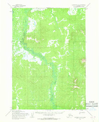
1954 · Sleetmute A-3
USGS Topo · 1:63,360

1954 · Sleetmute B-4
USGS Topo · 1:63,360
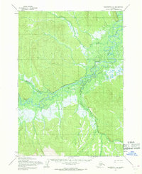
1954 · Sleetmute A-4
USGS Topo · 1:63,360
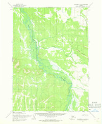
1954 · Sleetmute A-2
USGS Topo · 1:63,360