
1954 Map of Sleetmute B-2
USGS Topo · Published 1968About this map
The Hoholitna River winds through the southwestern corner of this interior Alaskan landscape, defining the local hydrology alongside the northern drainage of Elutuli Creek. This 1954 survey, based on aerial photography from the mid-1950s, documents a wilderness area largely devoid of permanent settlements, focused instead on seasonal accessibility. A primary marker of human activity is the Winter Trail, which cuts across the central and northern terrain. These routes were essential for traversal when the ground was frozen, providing a critical link through the brush and marshland that remained impassable during warmer months. The map captures a specific moment in the mid-century mapping of the Alaska territory, where the Army Map Service and USGS worked to chart the remote river systems and traditional transit corridors of the Kuskokwim River region.
Find a feature on this map
3 named features on this map. Tap any name to fly to it.
Don’t see what you’re looking for? This feature index may not catch every label — zoom into the map to look around manually.
Map Details
Editions of this 1954 Sleetmute B-2 Map
This is the sole edition of this map. No revisions or reprints were ever made.
Other maps of this area

1950 · Sleetmute
USGS Topo · 1:250,000

1954 · Sleetmute C-2
USGS Topo · 1:63,360

1954 · Sleetmute C-1
USGS Topo · 1:63,360

1954 · Sleetmute C-3
USGS Topo · 1:63,360

1954 · Sleetmute
USGS Topo · 1:250,000

1954 · Sleetmute B-3
USGS Topo · 1:63,360
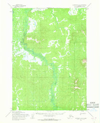
1954 · Sleetmute A-3
USGS Topo · 1:63,360
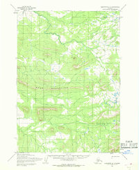
1954 · Sleetmute A-1
USGS Topo · 1:63,360
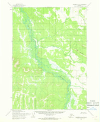
1954 · Sleetmute A-2
USGS Topo · 1:63,360
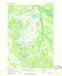
1954 · Sleetmute B-1
USGS Topo · 1:63,360