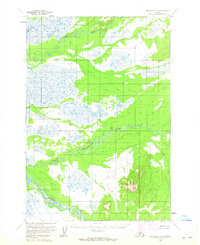
1954 Map of Lime Hills D-8
USGS Topo · Published 1965About this map
Meandering glacial watercourses define this interior Alaskan landscape as it was documented by the U.S. Geological Survey using aerial photography from the early 1950s. The region is dominated by three major hydrological systems: the Tatlawaksuk River in the north, the winding Cheeneetnuk River through the center, and the Swift River to the south. These braided channels cut through a terrain of numerous small lakes and marshlands, illustrating a drainage pattern characteristic of the Lime Hills region. The absence of roads or established settlements reflects the isolation of the territory at the time of the 1954 field annotation, providing a clear view of the natural hydrology before any modern human encroachment.
Find a feature on this map
3 named features on this map. Tap any name to fly to it.
Don’t see what you’re looking for? This feature index may not catch every label — zoom into the map to look around manually.
Map Details
Editions of this 1954 Lime Hills D-8 Map
2 editions found
Other maps of this area

1949 · McGrath
USGS Topo · 1:250,000

1950 · Sleetmute
USGS Topo · 1:250,000

1950 · McGrath
USGS Topo · 1:250,000

1951 · Lime Hills
USGS Topo · 1:250,000

1951 · Iditarod
USGS Topo · 1:250,000

1954 · Sleetmute D-1
USGS Topo · 1:63,360

1954 · Sleetmute C-1
USGS Topo · 1:63,360

1954 · Iditarod A-1
USGS Topo · 1:63,360
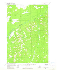
1954 · Lime Hills D-7
USGS Topo · 1:63,360
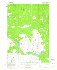
1954 · Lime Hills C-7
USGS Topo · 1:63,360