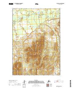
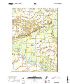
2019 Map of Lime Hills D-8 SE
USGS Topo · Published 2019About this map
The Cheeneetnuk River meanders across the northern reaches of this Alaskan interior landscape, carving a low-lying valley floor against the rising slopes of the southern terrain. This 2019 survey documents a wilderness environment defined by the absence of permanent human settlements or infrastructure, capturing the natural drainage patterns and topographical contours typical of the Bethel Census Area. The map is organized by the Public Land Survey System, showing township and range divisions such as t20n r36w and t21n r35w, which provide the essential spatial framework for land management in this uninhabited region.
Find a feature on this map
7 named features on this map. Tap any name to fly to it.
Don’t see what you’re looking for? This feature index may not catch every label — zoom into the map to look around manually.
Map Details
Editions of this 2019 Lime Hills D-8 SE Map
This is the sole edition of this map. No revisions or reprints were ever made.
Other maps of this area

1951 · Lime Hills
USGS Topo · 1:250,000
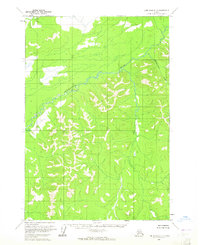
1954 · Lime Hills D-7
USGS Topo · 1:63,360
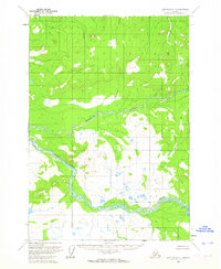
1954 · Lime Hills C-7
USGS Topo · 1:63,360
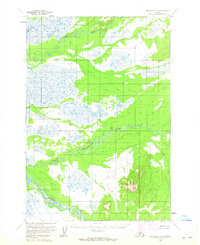
1954 · Lime Hills D-8
USGS Topo · 1:63,360
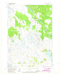
1958 · Lime Hills C-8
USGS Topo · 1:63,360

1958 · Lime Hills
USGS Topo · 1:250,000
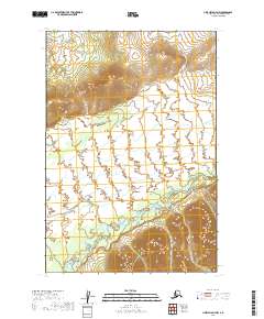
2019 · Lime Hills D-7 NW
USGS Topo · 1:25,000
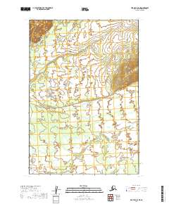
2019 · Lime Hills D-8 NE
USGS Topo · 1:25,000
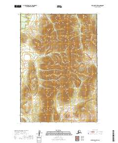
2019 · Lime Hills D-7 SW
USGS Topo · 1:25,000
2019 · Lime Hills D-8 SW
USGS Topo · 1:25,000